Get to know our lake.
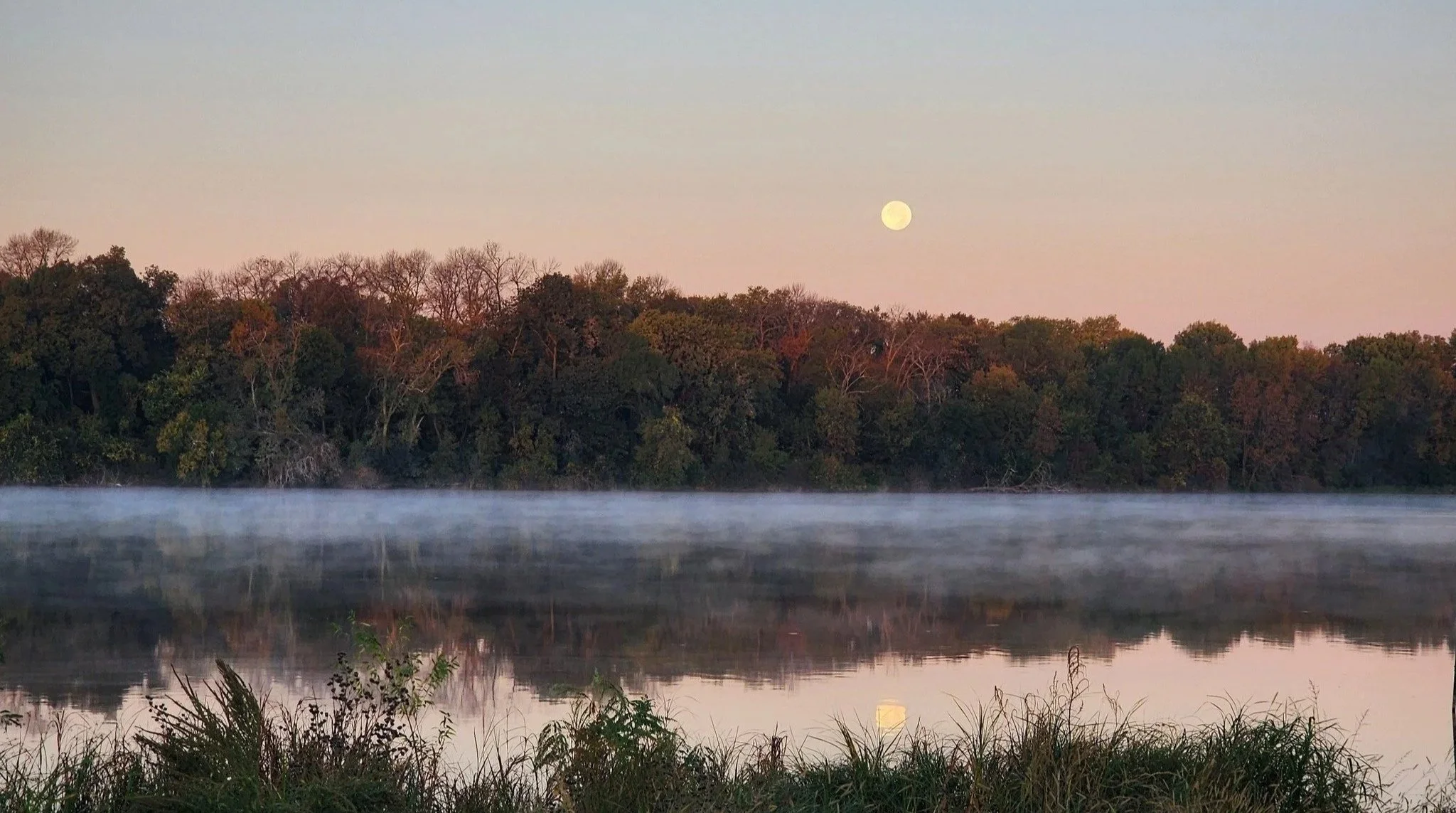
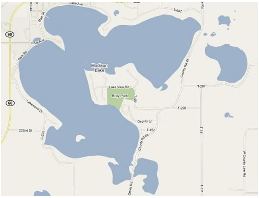
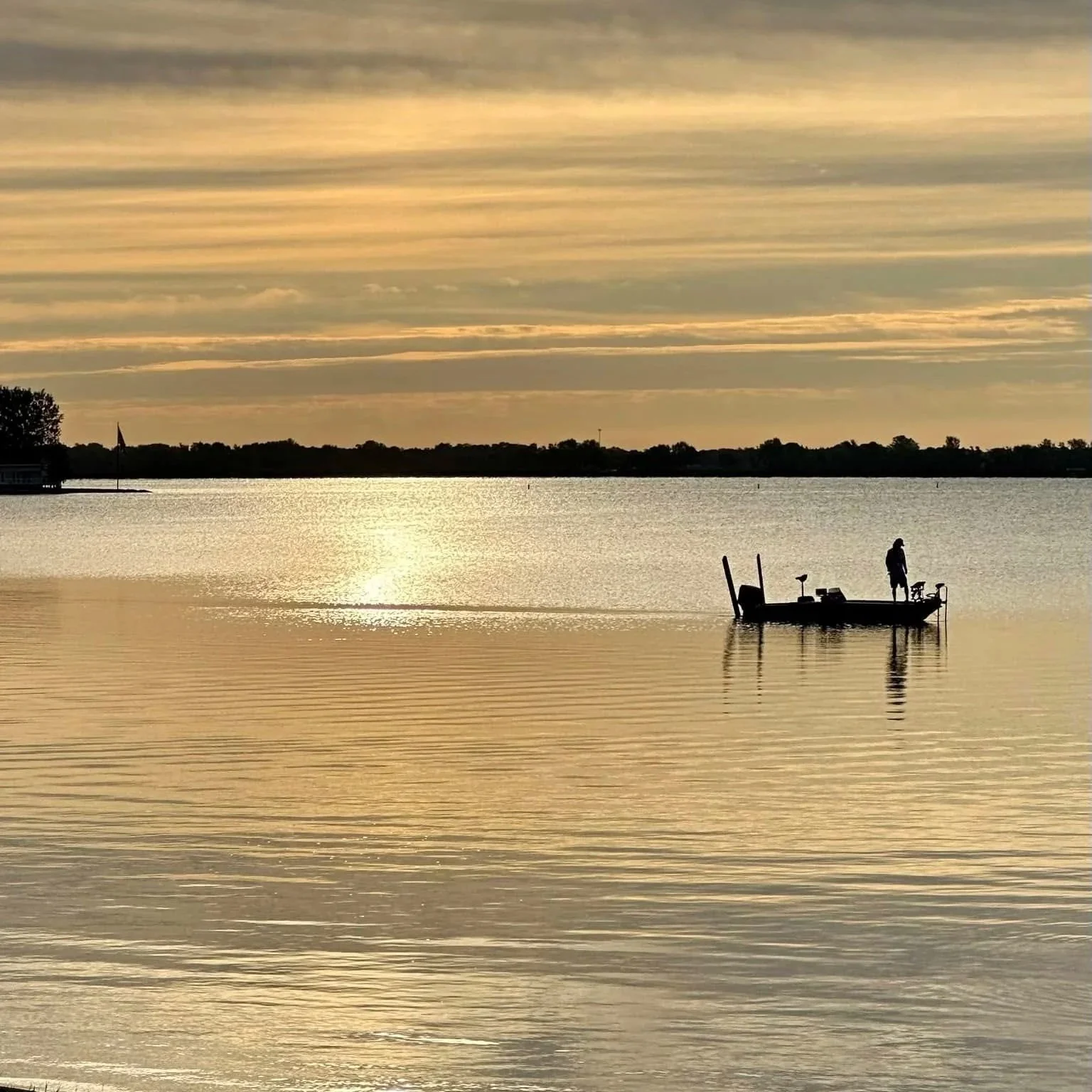
Madison Lake
Madison Lake is a 1,447 acre freshwater lake situated in Blue Earth County in south central Minnesota.
Madison Lake has been identified as “Impaired Waters” by the MN Pollution Control Agency and as a Sentinel Lake by the DNR.
Lake Facts:
Lake Acreage: 1,447 acres
Shoreline Length: 12 Miles
Maximum Depth: 59 Feet
Madison Lake Watershed Acreage: 12,530 acres
Minor Watershed #: 070200110605
DNR Waters Lake #: 07004400
Main Inlets: Two inlets in the northeast corner of East Bay and one inlet, county ditch #2, in the southeast corner by Buckmaster Bridge.
Primary Weeds: Eurasian Water Milfoil and Curly-Leaf Pondweed.
4 Landings: DNR, North Shore Park, Bray Park, and Lone Pine Park
280,000 pounds of Curly Leaf Pondweed was taken out of the lake in 2025.
Dive Deeper
What does it mean to have “Impaired Waters”?
The Minnesota Pollution Control Agency is required by the federal Clean Water Act to assess all bodies of water in the State to see if the waters fail to meet water quality standards. Madison Lake is classified as an impaired lake primarily due to high nutrient levels, specifically phosphorus, which cause low water clarity and frequent algal blooms. Listed for impaired recreational use, the lake suffers from agricultural runoff, internal nutrient loading, and the presence of invasive curly-leaf pondweed and Eurasian Water Milfoil. Learn more on the MPCA website here.
What does it mean to be a Sentinel Lake in MN?
Madison Lake is part of the MN DNR’s Sentinel Lakes Program which is an intensive, long-term lake ecosystem monitoring project to understand what physical, chemical, and biological changes occur in lakes across the state. Learn more on the DNR website here.
The last Sentinel Lakes assessment of Madison Lake was conducted in 2025, the report can be found here.

Additional Resources
-
Resources that guide how Madison Lake is protected, managed, and cared for—covering long-term planning, invasive species prevention, and best practices for shoreline and habitat stewardship.
-
Reference materials that describe the physical, ecological, and biological state of Madison Lake, including maps, assessments, fisheries data, and historical lake health reports.
-
-